| |
THE GEOPHYSICAL SURVEY
Geoffrey and Françoise Summers
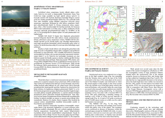
Geophysical survey was conducted over a large area on the high southern ridge (Fig. 6a) extending from the Terraces above and to the east of the Field westwards to the base of the stone glacis at the eastern end of the Palatial Complex and northwards to where the terrain begins to drop steeply to the lower sectors of the city. Results were of the high clarity which is the norm at Kerkenes, with normally rather dry areas being surveyed in the unusually damp conditions provided by much needed heavy spring rainfall (Fig. 3). Electrical resistance survey was done with a Geoscan RM15 in 20 by 20m grids employing a sampling strategy of readings every 0.50m at 0.50m traverse intervals in zigzag mode (Fig. 4). A total of 142 grids covering an area of 56,800 square metres or a little over five and a half hectares was surveyed.
The Sülüklü Göl (Fig. 5) has long been recognised as an important and perhaps focal feature within this public zone of the capital. The resistance survey confirmed an absence of structures within the enclosed space around the Sülüklü Göl while, in a new revelation, it showed two reservoirs each with artificial banking and a central sluice, on slightly more elevated terraces to the west of the main stone-lined facility.
Work spread over several years since the first season of the current investigations at Kerkenes in 1993 has investigated a series of large, prominent features located below the southwestern side of the ancient acropolis, known as Keykavus Kale, and facing what we have called the Cappadocia Gate (Figs 5 and 6). The idea that the two large parallel structures on the terraces above the Field might have been stables was mooted in the first, 1993, season. For this reason a two-metre wide test trench, TT19, was excavated across the terraces in 1996 in cooperation with Musa Özcan, then Director of the Yozgat Museum. Geomagnetic survey with a Geoscan FM36 fluxgate gradiometer was conducted over these terraces in 2000 while electrical resistance survey (Fig. 6b) was done with a Geoscan RM15 in 2009.
METALLURGY AND THE PROVENANCE OF METALS
Joseph W. Lehner
Continuing research in the technology and consumption of metal yielded new and surprising discoveries. Metallographic analyses of the pair of large rampant ibex cut from sheet bronze, excavated in 2002 from the Monumental Entrance to the Palatial Complex, indicate that their outer facing surfaces were coated with a layer of tin (Fig. 7a and b). These ibex, which were elements of a decorative scheme, would have appeared silvery in color and certainly added to the visual spectacle that this monumental building was clearly meant to display. The practice of coating bronze objects for decoration was well known in Roman times, however it is not clear when and where this technological innovation originated. These objects lend significant insight into the metallurgical mastery and versatility of craft specialists present in Central Anatolia during the Iron Age.
Research in raw material provenance of the metal objects is beginning to shed light onto Iron Age economic trajectories. It is evident from these new data that the residents at Kerkenes Dağ had at least indirect access to a number of different mining regions throughout Anatolia. However, preliminary analysis suggests that source regions to the south in the Central and Eastern Taurus may have been most important (Fig. 7c). This work will continue as part of a larger analysis of metal from Kerkenes and other sites in the region.
|


