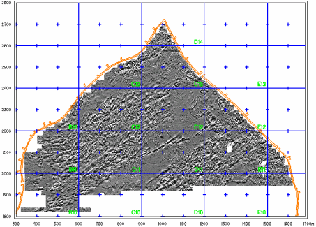
 - Geophysical
Image
- Geophysical
Image
•
Click here to see the detailed GPS terrain
model displayed on the GIS systems Software.
• Click here to see the rectified photos displayed on the GIS System Software
• Click here to see the recorded ground features using combined data from rectified photos and on site groundthruthing.
• Click here to see the surface and subsurface features digitized using the Geophysical Map.
• Click here to see the urban blocks
• Click here to see the rectified photos displayed on the GIS System Software
• Click here to see the recorded ground features using combined data from rectified photos and on site groundthruthing.
• Click here to see the surface and subsurface features digitized using the Geophysical Map.
• Click here to see the urban blocks