 |
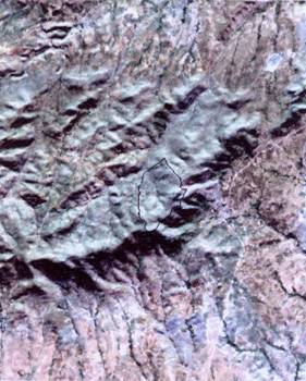
- The
Landsat Thematic Satellite Image provided by MTA combined with a Digital
Terrain Model graphically potrays the relationship between the location
of the city and the landscape. |
|
 |
- The
Landsat Thematic Satellite Image provided by MTA combined with a Digital
Terrain Model graphically potrays the relationship between the location
of the city and the landscape. |
|